
Hudson County Neighbors and Block Sources
Public records can describe a Hudson County block without proving a complete list of neighbors. The map identifies parcel geometry and legal keys. A municipal tax record can show a dated situs and a public owner or mailing field. A recorded deed can show a transfer party and date. Historical directories can place a person or business at an address during a particular edition. Each source answers a narrower question, so preserve its date and keep legal ownership separate from physical presence.
| Block source | Useful signal around an address | Access and limit |
|---|---|---|
| Hudson County GIS | Parcel polygons, block/lot or PIN, roads, and map context | Public viewer; owner data can be redacted |
| Municipal assessor or tax list | Situs, assessment year, public owner or mailing field, class, and legal key | Local source; the tax year matters |
| AcclaimWeb | Grantor, grantee, date, instrument reference, and legal description | Index, image, account, and office access differ |
| State voter status | Limited individual status and election context when available | Not a public block roster |
| JCFPL historical directories | Past occupants or businesses by street and edition date | Reference research; incomplete runs |
Use the map first, then follow the legal key. A tax mailing address can be a correspondence address and a deed party can be connected to a sale, not a current occupant. That distinction protects both accuracy and privacy when checking who your Hudson County neighbors may be.
Hudson County Neighbor Parcel Method
Start a Hudson County neighbors search with the address in the Hudson County GIS hub. Select the subject polygon and capture the displayed municipality, situs, block/lot or PIN, and map date. Then move only to the touching parcels and those directly across the street. Dense blocks can include condominium qualifiers, rear lots, public right-of-way, utility parcels, or merged tax lots. A polygon next to another polygon is not automatically an adjoining door or a household relationship.
- Enter the standardized address, or zoom by street and municipality, in the GIS hub.
- Save the subject parcel’s legal key and map date before clicking each side, rear, and across-street polygon.
- Search each key in the municipal tax source and AcclaimWeb. Compare the situs, public mailing field, and deed date without assuming occupancy.
- Use zoning, flood, district, or facility layers only as geographic context when the live viewer displays them.
The Hudson County street directory follows the longer by-street record chain. The block method stays focused on the immediate radius around one address, where parcel shape and legal descriptions often matter more than an address string.
Hudson County has twelve municipalities, and the same street name or postal label can appear in more than one local jurisdiction. Retain the municipality as well as the ZIP code at every step. That simple check keeps an adjacent-parcel comparison tied to the correct local tax and deed records.
Hudson County Map Context
Hudson’s parcel research is municipal in practice. The county has twelve municipalities, and the current parcel card belongs with the municipal assessor even when a county or state map supplies the geometry. NJ MOD-IV provides historical tax data from 1989 through the information available on its about page, but current hosted owner names are redacted under Daniel’s Law. A map and a tax row should therefore be read together, with the tax year noted.
The state’s parcel material is planning and reference data, not a legal survey. Hudson County GIS can bridge a street address to a legal key, then the assessor or Register can answer the next record question. NJGIN reported a Hudson parcel-service update in April 2026 and an August 2026 service update or possible downtime, so use the live hub rather than saving a stale layer link. When a boundary looks important, confirm it through the official tax map or custodian.
Hudson County Neighbor Voter Limits
The New Jersey voter-registration status lookup is for an individual check, not for browsing everyone on a block. The live endpoint did not expose a verified public field list during the Hudson research, so it is not sound to promise a specific result screen. Voter-file requests move through county or state election channels and are regulated by N.J.S.A. 19:31-18 and related protections. Ballot choices are not public.
Registration status is time-sensitive. A returned sample ballot can lead to inactive status, and an inactive voter has a confirmation process before removal. Safe at Home and Daniel’s Law protections can suppress or substitute an address. For a historical question, directories, census material, poll-book research at the Archives, or the library may be more appropriate than treating a present status check as a block roster.
Hudson County Neighborhood Context
Community pages are useful for a block’s public geography and contact channels, not for a private membership list. Hudson research did not locate a single official inventory of associations for every municipality, and no public roster should be inferred. Jersey City’s official neighborhood map does name places such as The Heights, Journal Square, India Square, Bergen-Lafayette, Greenville, Hamilton Park, Newport, Exchange Place, and Paulus Hook. Those labels provide local context but are not legal parcel boundaries.
| Public community channel | What it can provide | Access boundary |
|---|---|---|
| Jersey City neighborhood map | Named neighborhood geography and orientation | Not a parcel or resident list |
| Municipal clerk or community office | Public meeting, notice, or records-custodian contact | Ask for a specific public record |
| JCFPL New Jersey Room | Directories, maps, yearbooks, newspapers, and topical files | Historical research, with collection rules |
| Civic group public page | Public contact or meeting information when published | Do not infer or request a private member list |
For a targeted historical question, give the library or historical society a surname variant, municipality, approximate year, street, and precise question. That makes it possible to locate a useful directory, map, newspaper index, or archival collection without turning a community organization into a source of personal data.
Hudson County Recording Alerts
The Hudson County Register’s Recording Notification Service offers a free way to receive an alert when a new recording is associated with an enrolled name, address, or lot/block and municipality. One email can be associated with up to ten names or properties. It is a property-fraud awareness tool, not a neighbor list, and the alert does not provide the document’s contents.
An alert gives a prompt to check the Register’s record, where the date, parties, and legal description can be reviewed through the appropriate access route. If fraud is suspected, the Register directs users to law enforcement and Hudson County Consumer Protection rather than asking them to investigate a person on their own.
Hudson County Block Records and OPRA
New Jersey’s OPRA guidance explains the request route when a specific government record is identified but not posted in a public index. Name the custodian, record type, municipality, date range, and preferred format. OPRA does not require an office to create a new neighborhood dossier, and exemptions still protect confidential fields. The time and fee rules depend on the request and custodian, so a precise request is more useful than a broad people search.
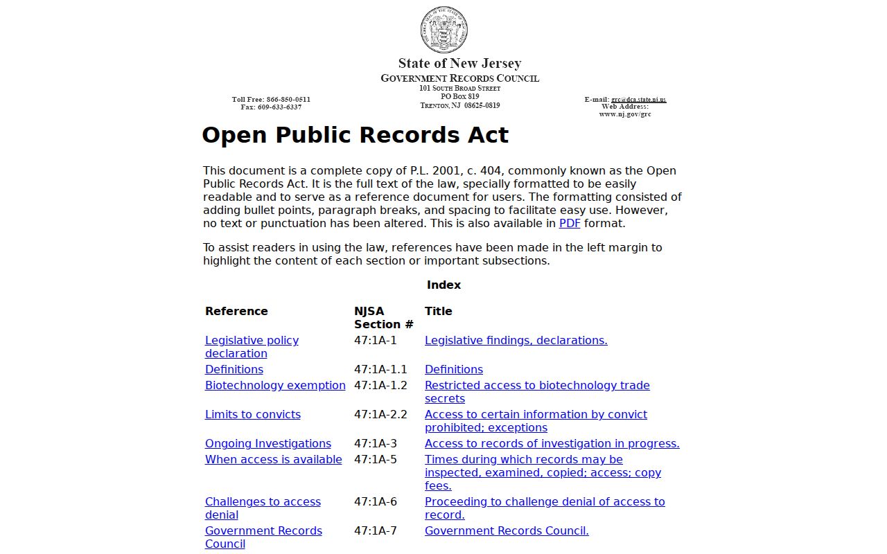
Keep the request number, source URL, and response date with any block record. A request can clarify the custodian or record status, but it cannot make protected voter, utility, delivery, motor-vehicle, or confidential-program information public.
Hudson County Neighbor Source Comparison
A commercial neighbor-search category can combine old public-record extracts, marketing information, address history, and inferred connections. It may be stale or merge different people. Official sources are narrower, but they make it easier to identify the record date and the agency responsible for correction. For Hudson County neighbors, that trade-off is usually worth making.
| Official record path | Commercial neighbor-search category |
|---|---|
| Shows a defined source, custodian, and record date | May combine feeds with uneven update dates |
| Supports a focused parcel, deed, or historical inquiry | May infer relationships or merge same-name people |
| Has a custodian-specific correction route | Removal does not alter the original government record |
New Jersey’s unclaimed-property search is another name-and-city tool that is sometimes mistaken for a location trail. It can identify a possible claimant with a former city association, but it is not a block source or a present-address record.
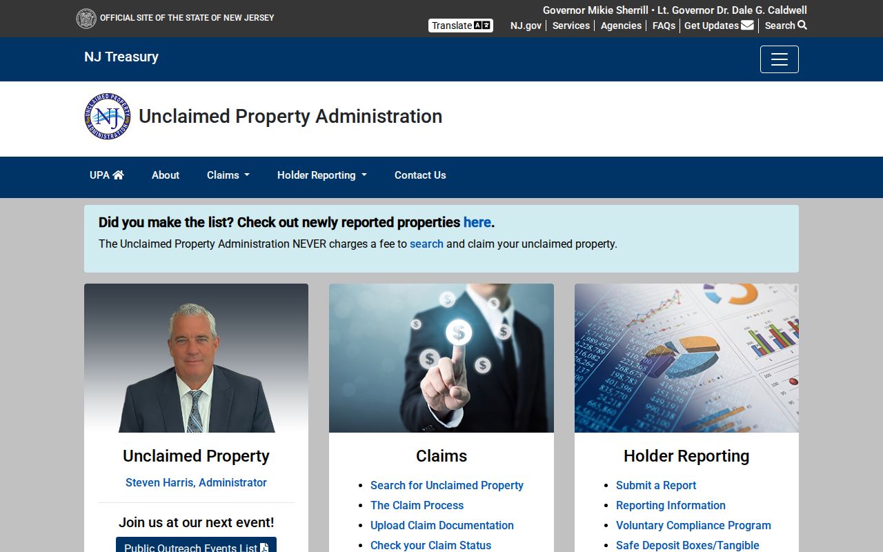
Use a name-and-city result only as a lead that requires the state’s claim process and proof. It does not establish that someone lives near the address being checked.
Hudson County Neighbor Lookup Limits
Hudson County maps, tax records, deeds, permits, and directories each leave out important private facts. A tax or deed record can show a legal owner, yet it does not establish everyone physically present at an address. Utility, delivery, motor-vehicle, protected-voter, and confidential-program information are not public block-search fields. Safe at Home provides a substitute legal address for qualifying people, while Daniel’s Law protects certain public officials and eligible household members from address disclosure.
Keep a block snapshot date because parcels, ownership, permits, and map layers update at different times. For a public-facing description, use parcel counts and legal identifiers rather than a list of living people. Historical work should cite the directory, census, map, or notice year. That level of care keeps the difference clear between a block map and a resident list.
Lawful use. Hudson County neighbors research is for personal, lawful questions about a block, local history, or public records. Never use a result to stalk, harass, intimidate, or harm another person.