
Hudson County Street Directory Walkthrough
Begin this Hudson County address search with the physical site, then move outward through records that use a different key. Hudson does not have one county assessor roll. Municipal assessors hold current parcel material, while the county Register holds recorded instruments and the county GIS hub supplies the map bridge. A tax owner, a deed party, a permit applicant, and an old directory entry can all relate to the same number at different times. Read each result for what it actually documents before treating it as evidence about an address.
- Standardize the street address and select the legal Hudson municipality.
- Use the municipal assessor, the state tax-list route, or MOD-IV to find the situs and block and lot.
- Open the Hudson GIS map to check the parcel polygon and neighboring legal keys.
- Carry the municipality, block, and lot into Acclaim Legal Description, then inspect recorded deed parties and dates.
- For a dated address clue, compare a permit record or a reverse directory, then confirm the alphabetic entry and its year.
The voter-status page is an individual check, not a public street roster. A wider voter-file request goes through the county or state election process and remains subject to statutory use limits and protected-address rules. If the question has narrowed from a street to one named person, use the separate Hudson County resident lookup workflow instead of inferring a household from an address result.
Normalize Hudson County Street Addresses
Hudson County searches need four separate address notes: the physical situs, the owner mailing address, the postal city and ZIP, and the legal description or block-lot-PIN key. A tax bill can go to an out-of-county mailing address. A postal city can serve a neighboring municipality. The legal key is the steadier bridge when a number has changed or a street recurs in more than one of Hudson County's twelve municipalities.
Start with USPS style for the street suffix and retain the spelling exactly as it appeared in the older source. Jersey City's permit instructions specifically recommend shorter strings when an old abbreviation blocks a result, such as using “St” instead of “Street.” Add the municipality before deciding that a match is the right parcel. The USPS ZIP Lookup can standardize a delivery address, but it does not confirm that a person is at that address.
Note. Keep the original spelling beside the normalized one, because an address search can fail when an older source used a different suffix or municipal name.
Find Hudson County Street Parcels
Property location, also called situs, is the parcel's physical address. It is not the same as the mailing field. The state NJ MOD-IV database provides historical property-tax data and says its information is complete from 1989 through 2024. It supports searching or downloading by year, municipality, block and lot, property class, address, and exemption-related attributes. Current hosted owner names are redacted under Daniel's Law, so an empty owner field does not prove that a parcel has no owner record.
The separate New Jersey DCA property-registration search is not a general tax roll. It accepts a property-registration number, a block and lot with county, or a street address with municipality. Its results can show the registration number, property name, building street address, municipality, county, block, lot, and ZipCode. A partial or shorter street string may produce a more useful result.
| Hudson search field | How to use it | Why it matters |
|---|---|---|
| Property Location | Enter the physical situs first. | Separates the parcel from an owner mailing address. |
| Municipality and Year | Choose the local jurisdiction and tax-year slice. | Hudson County has municipal assessors and time-stamped tax data. |
| Block, Lot, Qualifier | Record each part exactly as displayed. | These are the legal keys for tax, GIS, and deed research. |
| Property Class or Exemption | Use only when the portal offers the attribute. | Helps distinguish similar property records without proving occupancy. |
| DCA street and municipality | Try a short street string with the municipality. | Returns property-registration fields, including ZipCode. |
Hudson County Street Block Keys
Once the address resolves, write down the municipality, block, lot, and qualifier before opening another source. New Jersey property research uses that combination because the street address is a convenient situs label, not the legal title description. A qualifier can identify a condominium or another subparcel. The county or statewide map may also expose a parcel PIN aligned with PAMS and MOD-IV data.
- Parcel
- A defined piece of land or a separately identified property interest on the tax map.
- Situs address
- The physical location assigned to a parcel, distinct from the address used for tax mail.
- Plat or filed map
- A recorded map that can explain a subdivision, lot split, merger, or changed legal description.
- Criss-cross directory
- A historical address-first listing that can point from a street and number to a printed occupant entry.
Use the legal key as a cross-check rather than assuming adjacent street numbers have adjacent legal lots. In a dense Hudson block, a right-of-way, rear lot, facility parcel, condominium qualifier, or merged tax lot can make the map look simpler than the underlying record.
Hudson County Street GIS
The Hudson County GIS hub is the map stage of a street-by-street search. Zoom to the address, select the subject polygon, and note the municipality, block, lot, PIN, and any displayed situs data. Then inspect the polygons on either side, to the rear, and across the street. Carry those keys back to the assessor or the Register rather than relying on the shape alone. NJGIN describes the statewide parcel layer as planning and reference data, not a legal survey or official tax map.
See the Hudson County GIS map hub before using the parcel image as a starting point.
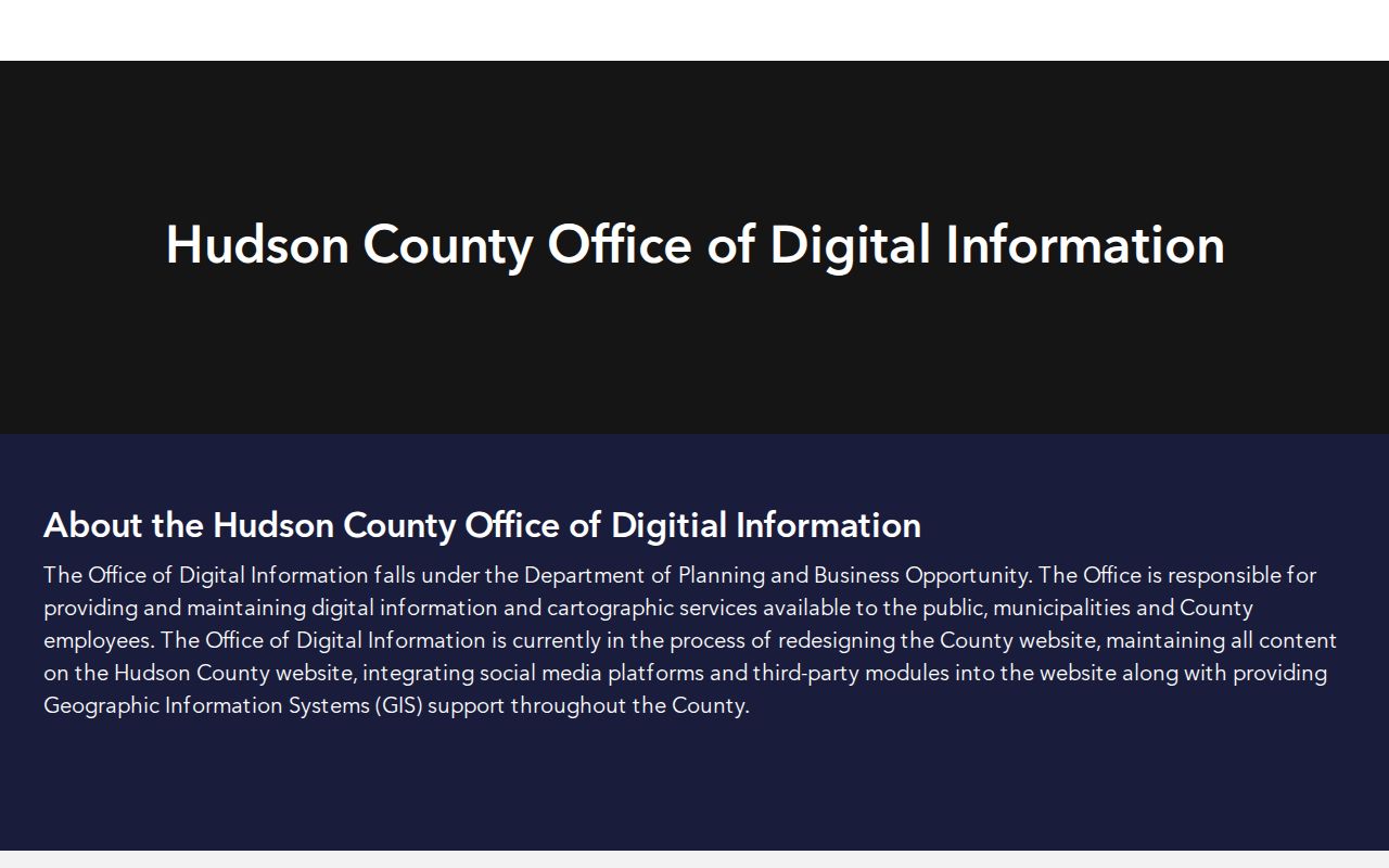
After a parcel is identified, the map's block and lot can be checked against the tax source and the Acclaim legal-description search.
Hudson County Street Deed Trail
The Hudson County Register's AcclaimWeb search has separate modes for Name, Book/Page, Instrument Number, Legal Description, Document Type, Consideration, and Record Date. For an address-led search, begin with Legal Description using lot, block, and municipality. If an older address is inconsistent, use the party names, book and page, instrument number, or the other documented modes as alternate routes. The Register warns that results depend on the spelling entered, so name variants matter.
For each deed, record the indexed party names and grantor or grantee role, document type, recording date, instrument number or book and page, municipality or legal description, and consideration if shown. Search a prior seller as a grantee in the earlier purchase, then repeat. A recorded deed establishes a transfer or interest. It does not establish that its owner lived at the property. Mortgages, releases, liens, lis pendens, and maps can add dates and parties, but they do not fill in a household list.
The image below comes from the Acclaim name and grantor-grantee search, which documents the party-search route.
When the web result does not supply a usable image or earlier index, the Register's public search room and the archival deed route are the next documented channels.
The Register's public search room is at 257 Cornelison Avenue, second floor, Jersey City. It holds deeds, mortgages, lis pendens, filed maps, and indexes; research-area and cashier hours are generally 9 a.m. to 2 p.m. on weekdays, and the main phone is 201-395-4760. The office prohibits photographs. For older material, the New Jersey State Archives reports county-deed microfilm through 1900 and deed indexes that continue beyond that period, while noting FamilySearch digitization for county deeds.
Jersey City Permits Add Dated Address Clues
Jersey City's public permit and license search is a practical address tool for work that was recorded at a property. The city says its public search accepts an address, record number, or keyword and covers historical and active permits and licenses. A record can point to an owner, applicant, contractor, work description, status, inspections, or dates. It is evidence about a record participant and a time period, not proof of who occupied every unit.
Insider tip. The city's own instructions advise trying a shorter address string when historical abbreviations differ, including “280 Grove St” rather than the fully spelled street type. For other Hudson municipalities, start with the local office or make a narrow OPRA request that names the address, date range, and record sought. Jersey City directs OPRA requests through its online portal rather than fax or email.
The Jersey City permit and license public search is the source for this address-search view.
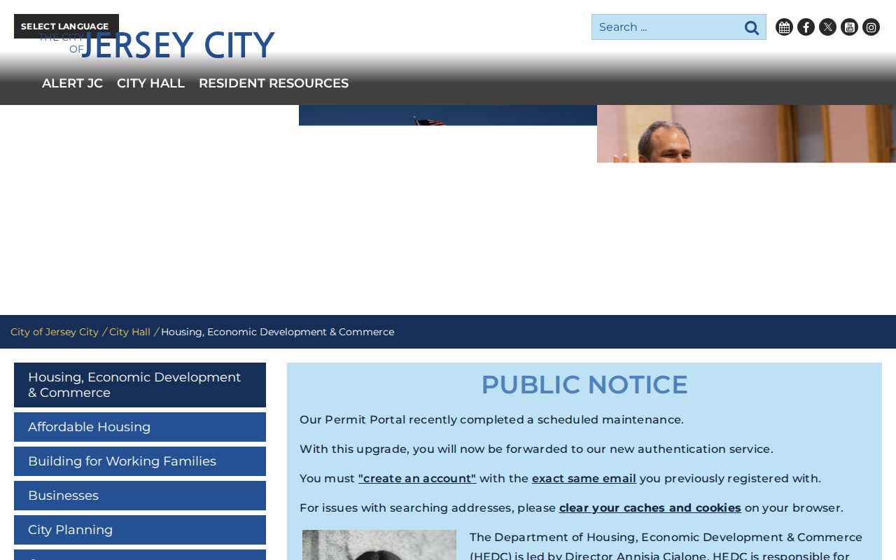
Use a permit result to date work or identify the record to request, then compare it with the parcel and deed trail rather than treating it as a resident list.
Hudson County Street Directory Record Coverage
Address-keyed sources answer different parts of the Hudson County search. The strongest result is a carefully dated set of records, not a single screen. Tax material identifies a parcel and can show mailing or assessment fields. GIS provides geometry and legal keys. Acclaim provides recorded-party and instrument details. Permits and historic directories offer dated address clues. Each source has its own access route when a web search is incomplete.
| Address record | Hudson keeper | Useful fields | Access path |
|---|---|---|---|
| Tax card or annual roll | Municipal assessor | Situs, owner or mailing field where public, block, lot, class, assessments | Local office or portal; annual certified data can lag later changes |
| MOD-IV history | State and Rutgers | Tax year, parcel attributes, address, class, exemptions | Free search or download; current owner names redacted |
| Parcel map | Hudson GIS and NJGIN | Polygon, block, lot, PIN, map context, adjacent parcels | Public viewer; reference mapping, not a survey |
| Recorded instruments | Hudson County Register | Grantor, grantee, date, type, legal description, book or instrument number | Acclaim index, account-dependent image access, or search room |
| Permit or license record | Jersey City HEDC or local municipal office | Address, record participant, work, status, inspection, date | Jersey City public search; other municipalities may require local request or OPRA |
| Reverse directory | JCFPL and other library collections | Printed street-number occupant clue and alphabetic entry | Reference collections; years and titles vary |
Old Hudson County Street Numbers
A literal modern address search can miss a continuous Hudson County property history. Hudson City was chartered in 1855, consolidated with Jersey City and Bergen through the March 17, 1870 charter, and Greenville merged in 1873. Older directories may therefore use town or street names that do not match a modern Jersey City form. The City Clerk's building-numbering record is open to public inspection and can be a bridge when a deed, map, and current GIS result disagree.
Myth. A changed number is not necessarily a wrong address. A Jersey City Historic Preservation Commission packet gives a Warren Street example in which current 215 and 217 correspond to old 101 and 103. Consult the actual key for the street, then test it with an adjacent parcel, block and lot, legal description, and deed parties. The Jersey City Free Public Library New Jersey Room is a documented place to ask for directories, maps, topical files, and historic reference material. Its special collections are the better route for older address context than a current parcel record.
For a printed address-first entry, use a reverse or criss-cross directory if the edition has one, then verify the matching alphabetic entry and its publication year. The historical collections are covered in more detail in the Hudson County city directories.
Hudson County Street Directory Limits
A Hudson County address search cannot turn public property and map records into a full list of everyone who lives at an address. Tax and deed sources are strongest for parcel ownership and recorded interests. Current hosted parcel data may redact owner names under Daniel's Law. The individual voter check is not a street-browse tool, and protected voters can have suppressed or substitute address data. Utility, delivery, DMV, and protected-program address information are not public substitutes for the missing household layer.
Keep the date attached to every result. A deed party may be a former owner, a tax mailing field may point elsewhere, and a permit applicant may be a contractor or agent. New Jersey's Address Confidentiality Program and Daniel's Law protections can also make a no-result intentional. When a county or municipal record is not indexed, OPRA can be a path for a clearly identified record, but exemptions and protected-address rules still apply.
Lawful use. Use Hudson County address records for personal, lawful research, and never use an address trail to stalk, harass, intimidate, or harm anyone.